We are building
the holodeck.
Capture any target in 20 minutes. Photoreal 3D maps, browser-native and queryable. Make concrete translucent.
Three Tampa venues. Walk each one in the browser.
> Click a viewer to take control WASD + MouseTap a viewer to go fullscreen Dual thumbsticks
Three real commercial captures from around Tampa, each running as a full photoreal 3D scene in your browser. Click into any viewer to move through it, or expand it fullscreen.
No pre-baked engine scene. Raw captures, streamed and explored live in the browser — segmented, queryable, and ready for tasking.
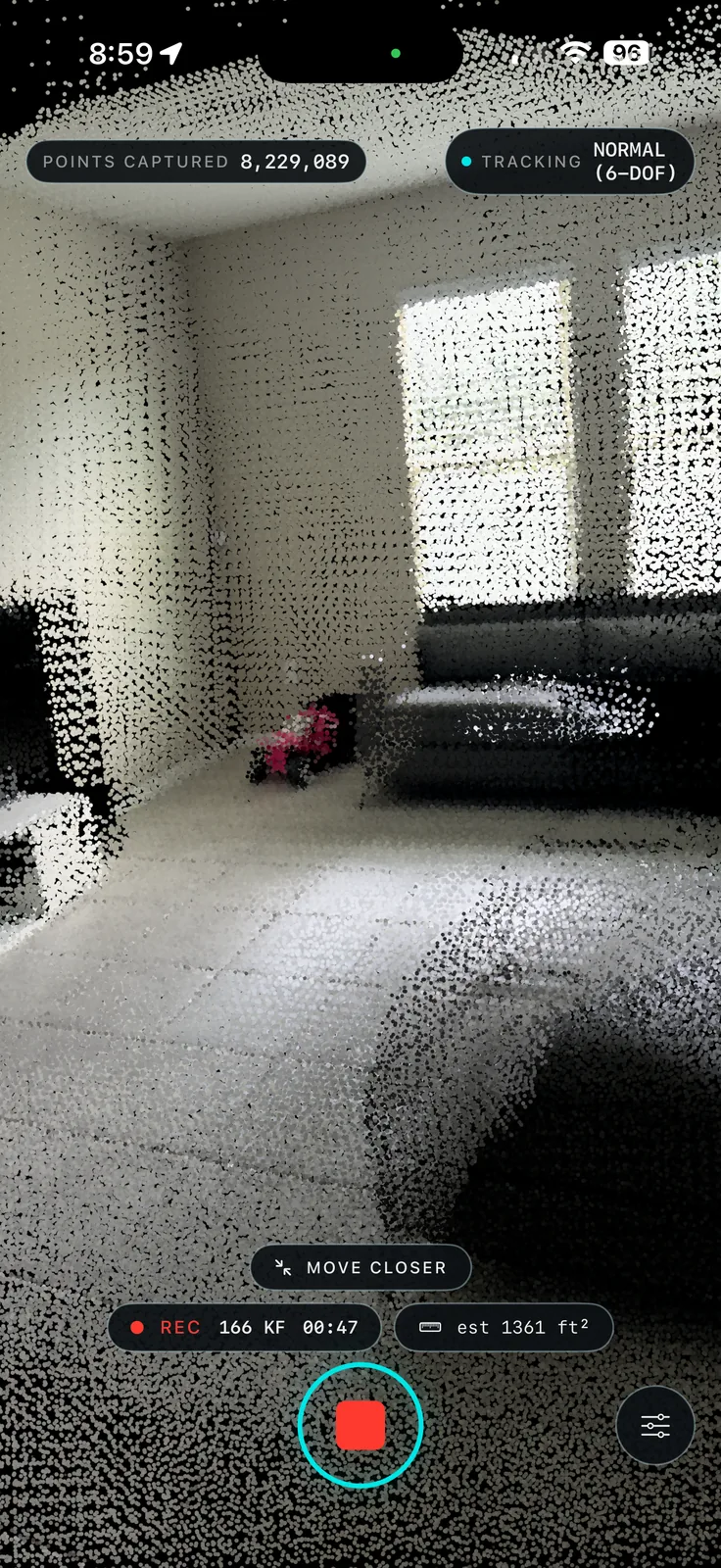
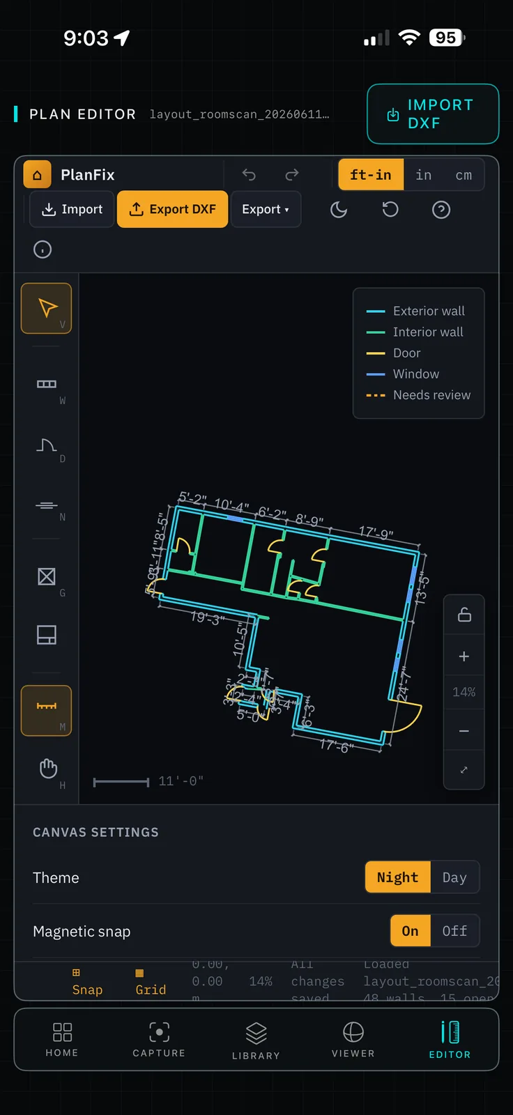
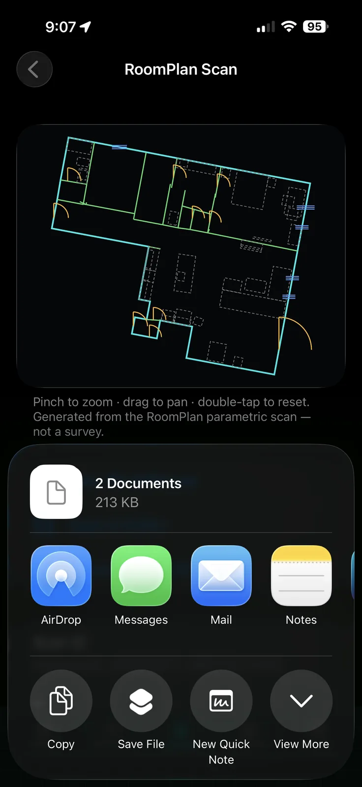
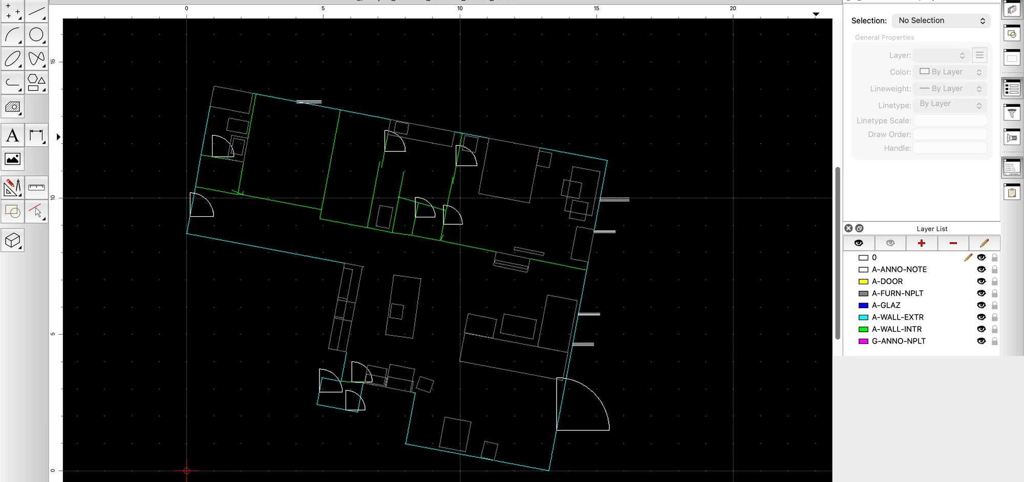
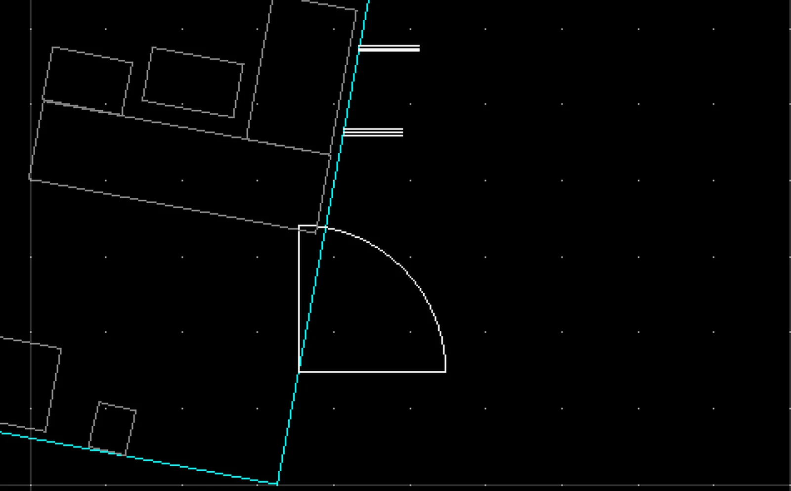
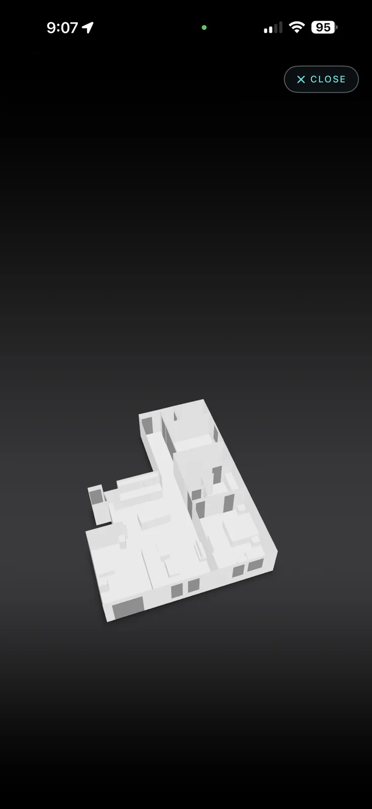
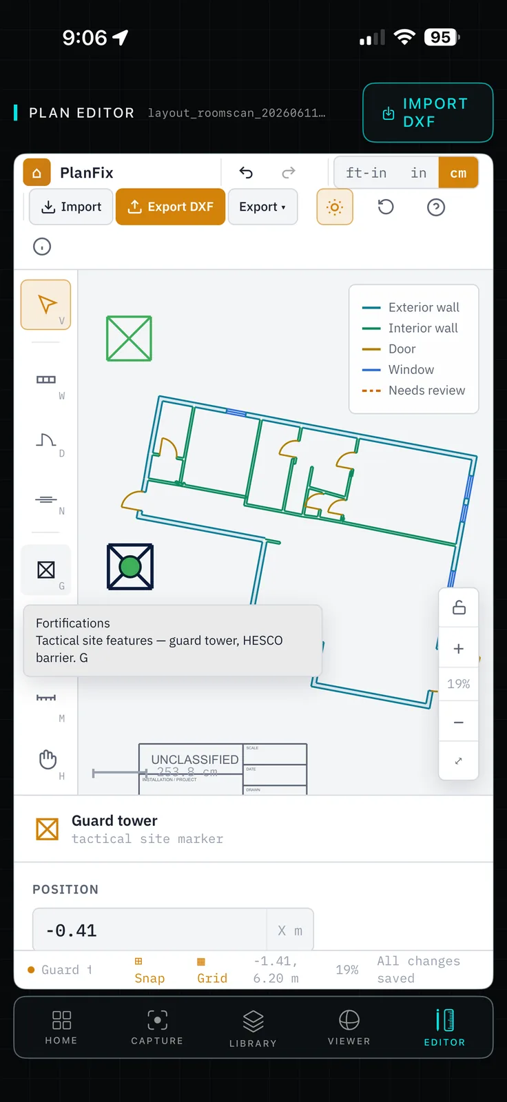
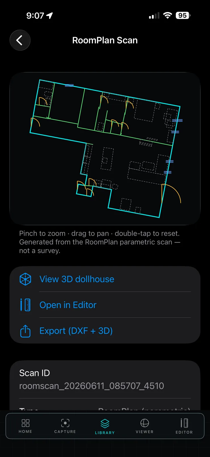
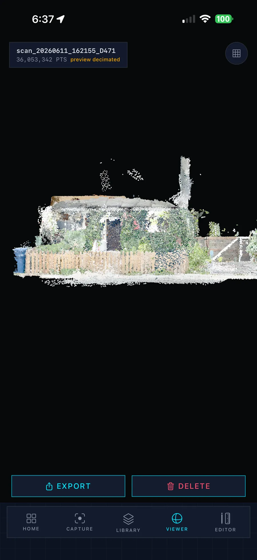
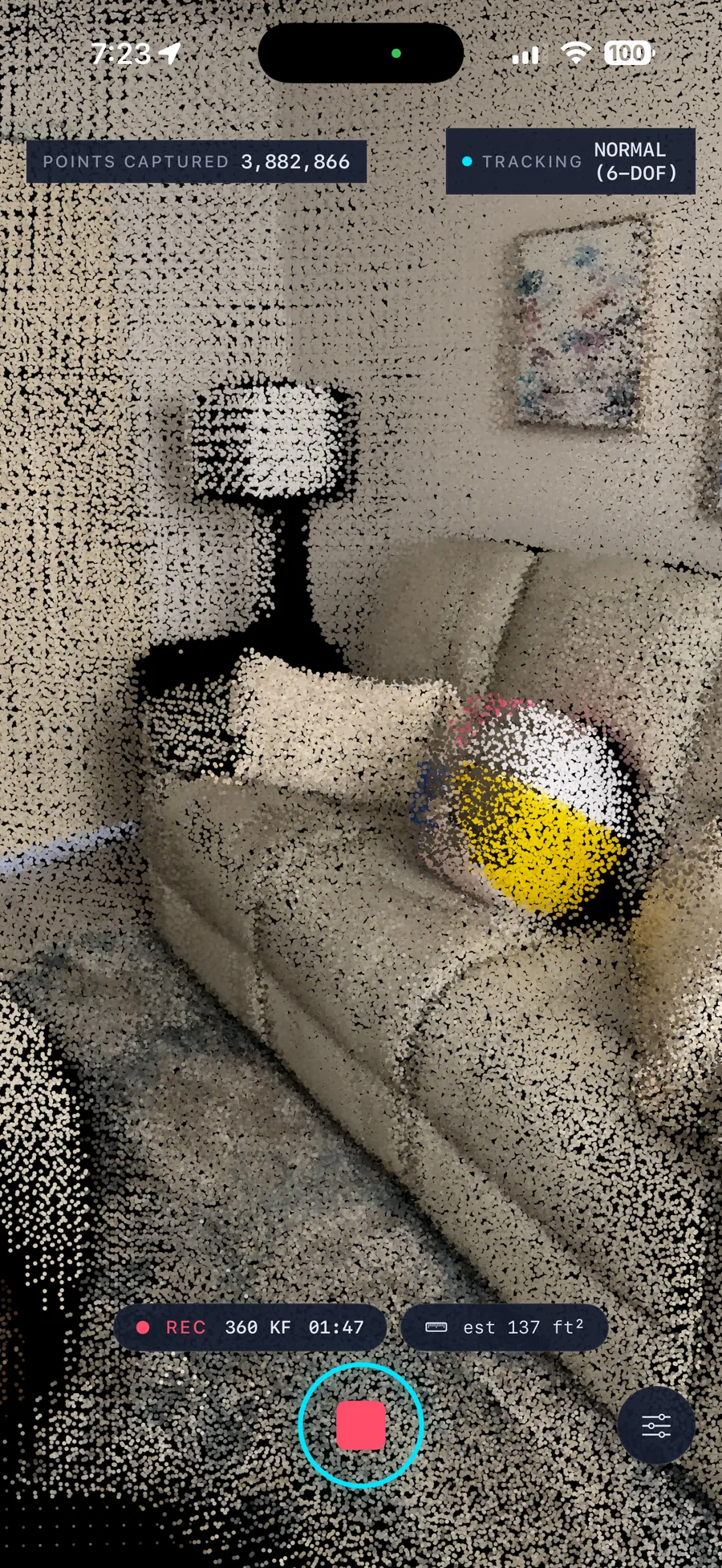
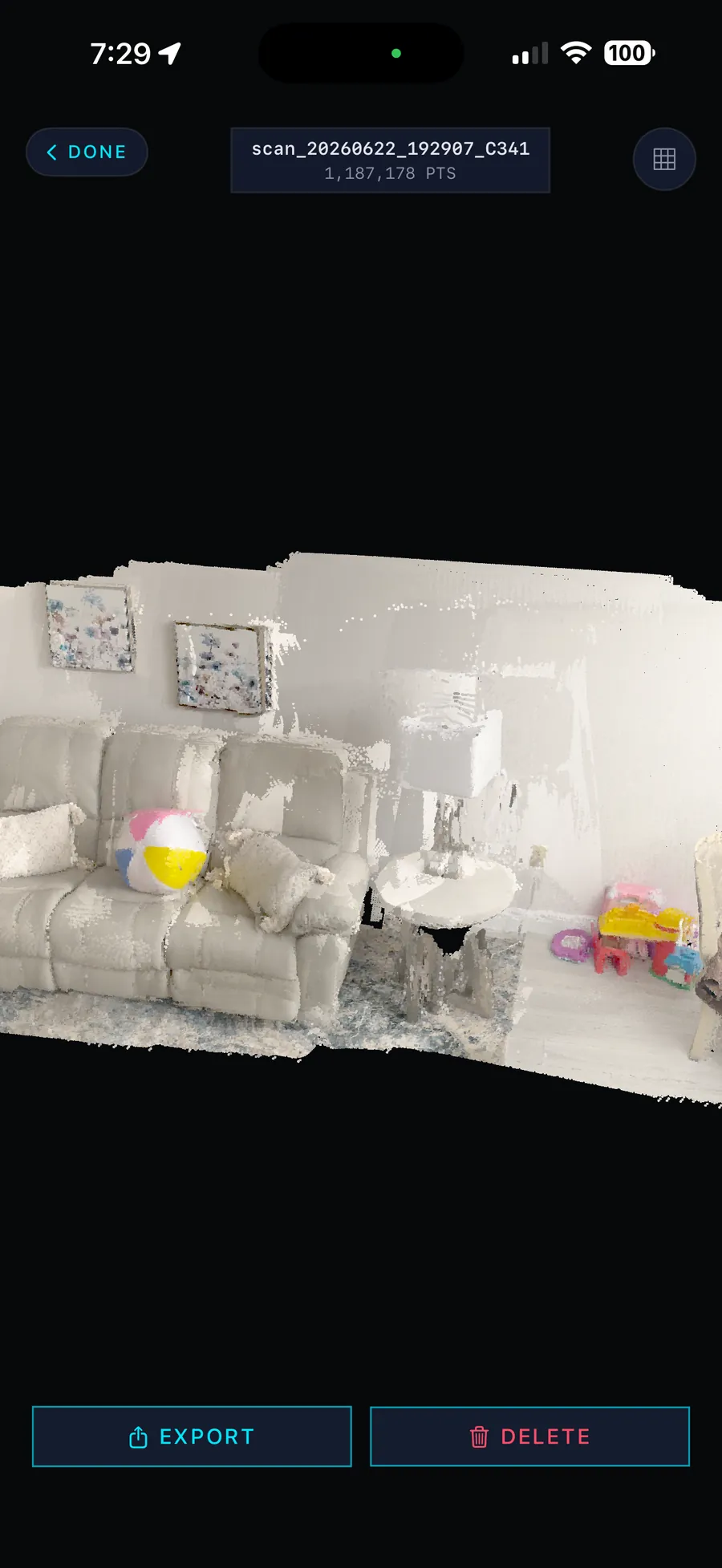
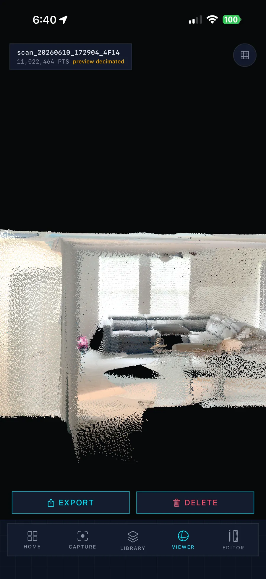
Walk the room. Leave with the CAD file.
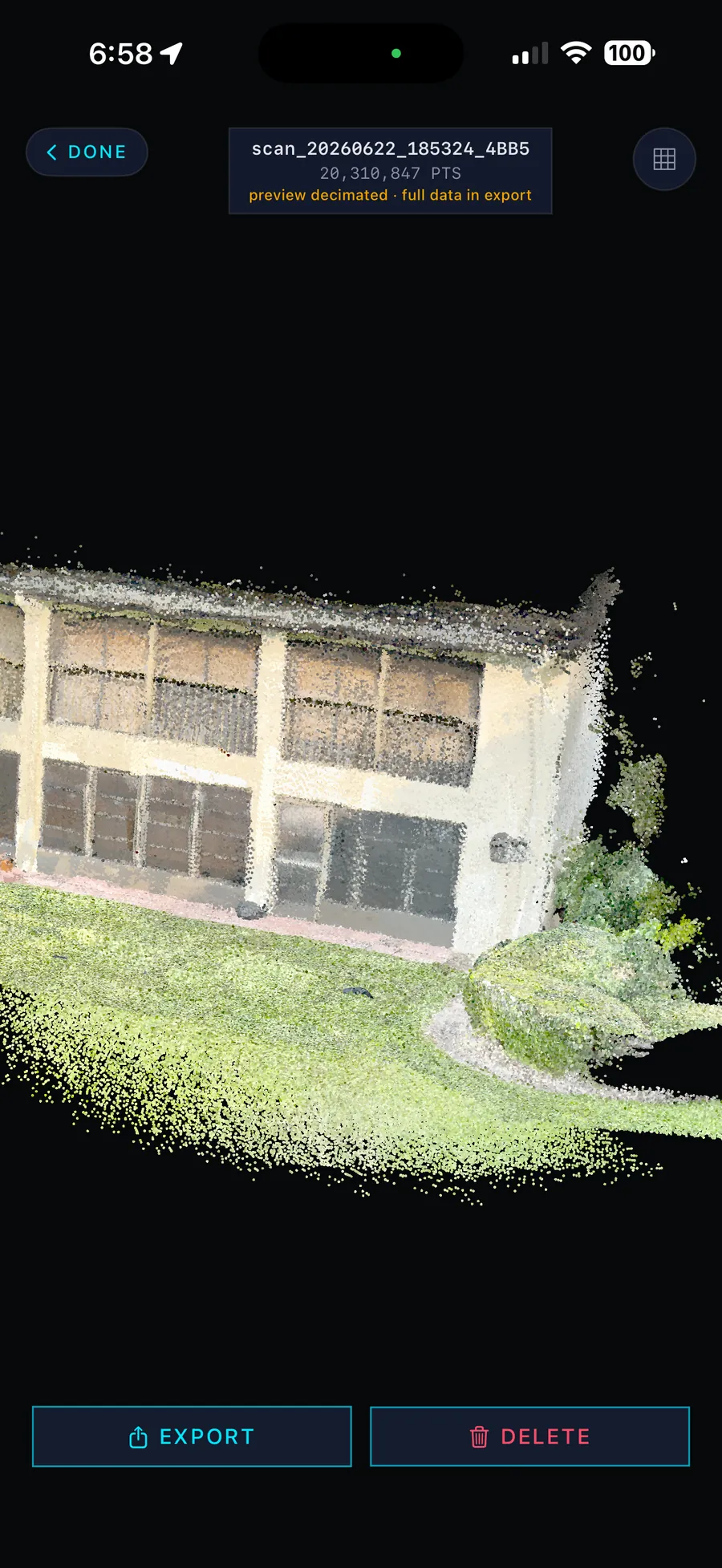
A pocket scan-to-CAD pipeline. One operator captures a structure with the phone already in their kit, refines the to-scale floor plan on-device, and exports a layered DXF that opens in any AutoCAD-class tool. Full 3D point clouds ride along when the mission needs them.
No internet. No cloud. No survey crew. The entire pipeline — capture, plan generation, dimension editing, CAD export — runs on the device. A whole multi-room plan ships as a 213 KB file small enough for any link.
Fifteen years ago we ran QRF out of a hilltop COP in Nowzad. The intelligence we had on the compound we were about to clear was a printed Google Earth overhead, a hand-drawn sketch from the LT, and whatever the last patrol remembered. Today, every squad in the U.S. military still breaches rooms they have never seen. Cozy Tactical maps any structure to sub-centimeter precision in twenty minutes — photoreal, queryable, and shareable across a chain of command in any time zone. Command sees both friendly and enemy positions through every wall, in real time. The fog of war does not survive a cozy 3D mapped building.